English
 norsk
norskBlar i forfatter "Storvold, Rune"
Viser treff 1-7 av 7
-
Bruk av droner i nordområdene
(Research report; Forskningsrapport, 2020-05-13)Formålet med denne rapporten er å vise eksempler på bruk av fjernstyrte og autonome droner i petroleumssektoren og vise hvilke utviklingstrender innen droneteknologi som er viktige. Utfordringer og muligheter for bruk av droner i nordområdene er spesielt vektlagt. Teknologi for og anvendelser av flyvende droner, droner på havoverflaten og droner under vann er behandlet i denne rapporten. Rapporten ... -
Mission Performance Trade-offs of Battery-powered sUAS
(Chapter; Bokkapittel, 2017-07-27)A sensitivity analysis is presented on the influence of the weight, altitude and speed of battery-powered sUAS on the resulting stall speed, endurance and range. To aid in the determination of the aircraft performance prior to flight, a method is being brought forth that quantifies the impact of these mission parameters. As a case study the P31015 sUAS is used. The P31015 is a concept model of a ... -
Quad-Polarimetric SAR for Detection and Characterization of Icebergs
(Conference object; Konferansebidrag, 2016)This paper evaluates the performance of fully polarimetric SAR data in iceberg detection and characterization. The study aims to explore the potential of RADARSAT-2 SAR data to detect icebergs and growlers in Svalbard that have broken off from the glaciers nearby. To be able to detect iceberg/growlers in a SAR image, a significant contrast between iceberg and background clutter is required. The ... -
SARINOR WP 3 "SØK". (Norut rapport 11/2015)
(Research report; Forskningsrapport, 2015)Arbeidet analyserer tilgjengelig søk og redningskapasitet (SAR), med fokus på søk, med sikte på å avdekke forbedringspunkter. Arbeidet er begrenset til Norges ansvarsområde i henhold til Arktisk råds avtale om søk og redning i Arktis. Redningshelikopter på SAR beredskap består av 2 AS332L1 AWSAR på Svalbard, et Sea King på Banak og et i Bodø. I tillegg har Bristow et EC225 AWSAR helikopter i Hammerfest. ... -
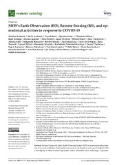
SIOS’s Earth Observation (EO), Remote Sensing (RS), and operational activities in response to COVID-19
(Journal article; Tidsskriftartikkel; Peer reviewed, 2021-02-15)Svalbard Integrated Arctic Earth Observing System (SIOS) is an international partnership of research institutions studying the environment and climate in and around Svalbard. SIOS is developing an efficient observing system, where researchers share technology, experience, and data, work together to close knowledge gaps, and decrease the environmental footprint of science. SIOS maintains and facilitates ... -
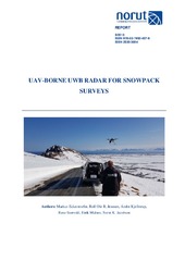
UAV-BORNE UWB RADAR FOR SNOWPACK SURVEYS
(Research report; Forskningsrapport, 2018)In this report we summarize the capabilities and technical characteristics of our UAV-borne UWB radar system, designed for conducting snow surveys. We developed an ultrawideband snow sounder that is capable of imaging snow stratigraphy with a 5 cm range resolution. The radar can be carried by an octocopter UAV in order to carry out airborne snowpack surveys. During a demonstration on Andøya, we ... -
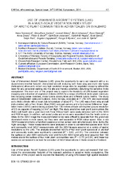
Use of unmanned aircraft systems (UAS) in a multi-scale vegetation index study of arctic plant communities in Adventdalen on Svalbard
(Journal article; Tidsskriftartikkel; Peer reviewed, 2014)Use of Unmanned Aircraft Systems (UAS) gives the opportunity to carry out research with a re-duced environmental footprint. Unmanned aircraft, including both fixed wing and multi rotor types (helicopters) allow us to collect very high resolution image data for vegetation mapping without the need for any personnel walking into the site and thereby potentially disturbing the sensitive Arctic ecosystems. ...